# Nearmap WMS integration
To consume Nearmap imagery via WMS, you must first create a Simple or Custom WMS Service, which generates a URL that Civillo can use.
Important
Nearmap API usage can significantly increase the account data usage. Please monitor your usage carefully.
# Step 1
- Sign in (opens new window) to Nearmap
- Click on the Integrations (opens new window) tab in your account.
- Click on the CREATE APP button.
- Using the Create API App form, add a Civillo application.
Add https://app.civillo.com/ to the Referrer restrictions.
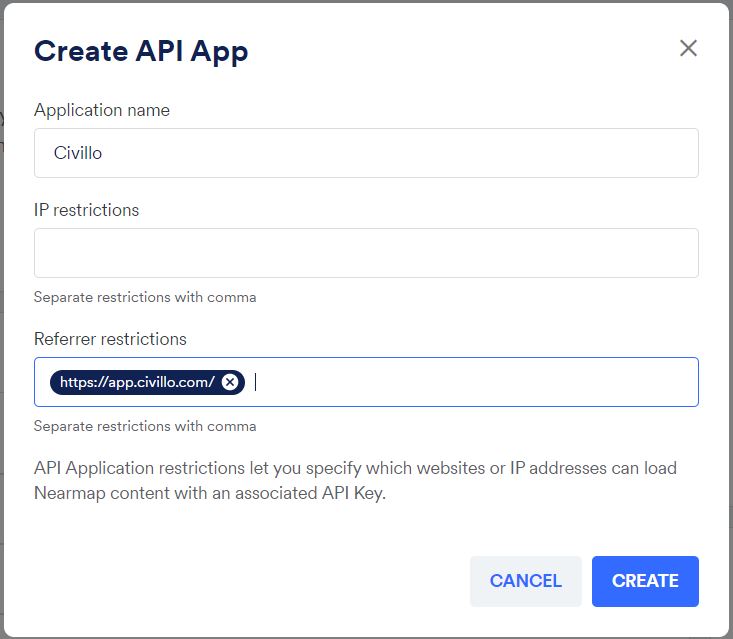
- Click CREATE
# Simple WMS
A Nearmap Simple WMS provides a URL to access latest Nearmap imagery, with no geographic restrictions.
To create a simple Nearmap connection:
- Click on the API Keys tab in the Integrations (opens new window) tab in your account.
- Choose the Civillo API App that was created in Step 1.
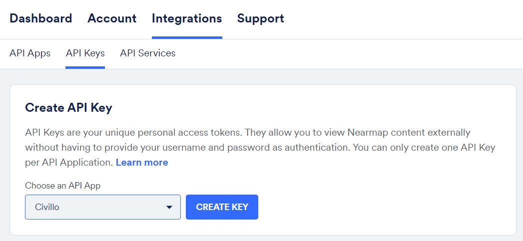
Create API Key - Click CREATE KEY
- Click on the API Services tab in the Integrations (opens new window) tab in your account.
- In the Simple API Service form, select the Civillo API Key and the Simple WMS integration type.
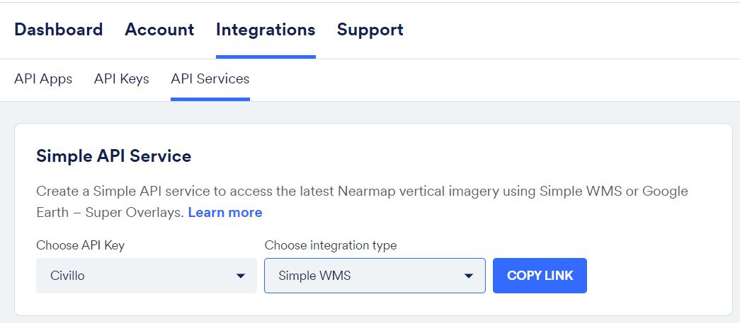
Create Simple WMS link - Click COPY LINK
- In Civillo, create a online services layer, select a "WMS (Web Map Service)" as the Layer type.
- Paste the copied link (Step 6) into URL.
- Click ADD LAYER.
# Custom API Service
A Nearmap Custom Services allows for imagery to be provided in distinct areas, similar to Civillo's project boundaries. Custom Services should result in a lower account data usage.
- Click on the API Services tab in the Integrations (opens new window) tab in your account.
- Under the title Custom API Service, click on the CREATE SERVICE button.
- Rename the service to something appropriate.
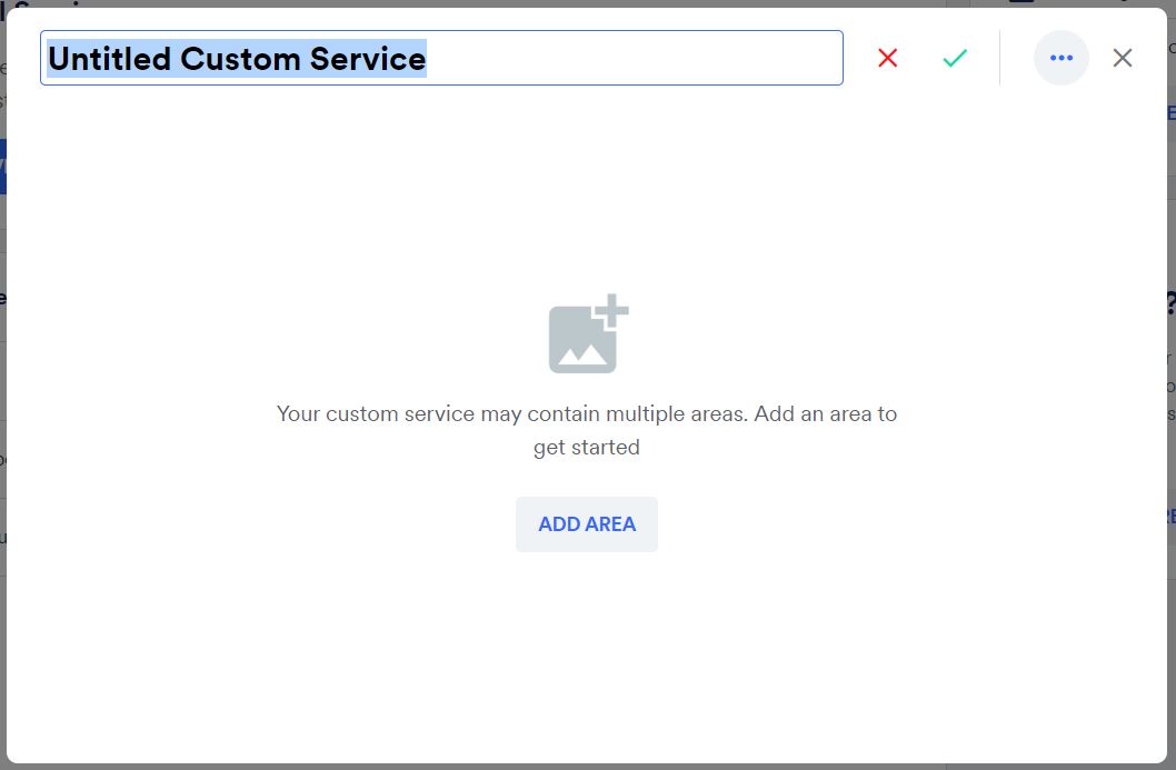
Rename the custom service - Click the ADD AREA button.
- Navigate to the area of interest and trace a polygon boundary. Double click on the starting point to close the polygon.
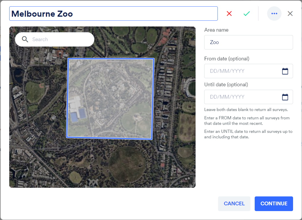
Draw the area of interest - Click CONTINUE.
- Add additional areas, or click FINISH.
- Click the Copy icon for the new service.

- Associate the service with an API Key. Choose the Civillo API App that was created in Step 1. The link has been successfully copied to the clipboard.
- In Civillo, create a online services layer, select a "WMS (Web Map Service)" as the Layer type.
- Paste the copied link (Step 9) into URL.
- Click ADD LAYER.
# Nearmap Export
If you choose not to use the Nearmap API to create a WMS layer, users can export Nearmap imagery and upload directly to Civillo if required.
