
Nearmap WMS integration
To consume Nearmap imagery via WMS, you must first create a Simple or Custom WMS Service, which generates a URL that Civillo can use.
Step 1
Section titled “Step 1”-
Sign in to Nearmap
-
Click on the Integrations tab in your account.
-
Click on the CREATE APP button.
-
Using the Create API App form, add a Civillo application. Add https://app.civillo.com/ to the Referrer restrictions.
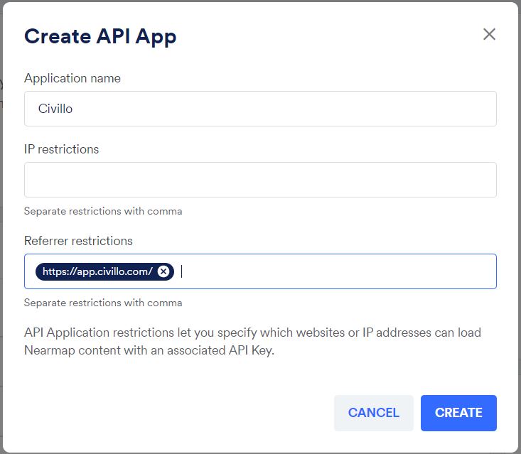
Nearmap API create -
Click CREATE
Simple WMS
Section titled “Simple WMS”A Nearmap Simple WMS provides a URL to access latest Nearmap imagery, with no geographic restrictions.
To create a simple Nearmap connection:
-
Click on the API Keys tab in the Integrations tab in your account.
-
Choose the Civillo API App that was created in Step 1.
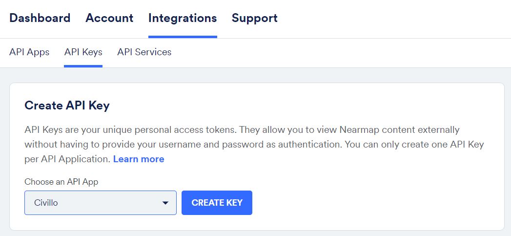
Create API Key
-
Click CREATE KEY
-
Click on the API Services tab in the Integrations tab in your account.
-
In the Simple API Service form, select the Civillo API Key and the Simple WMS integration type.
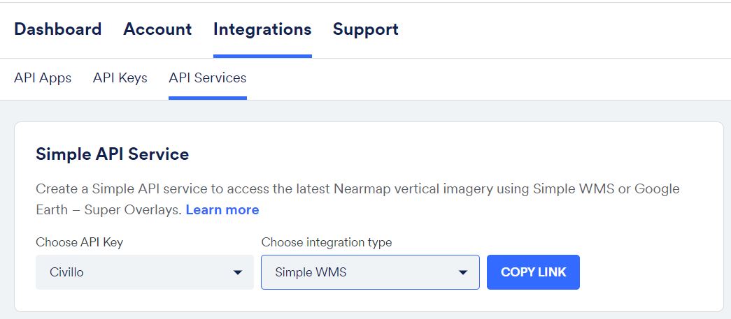
Create Simple WMS link -
Click COPY LINK
-
In Civillo, create a online services layer, select a “WMS (Web Map Service)” as the Layer type.
-
Paste the copied link (Step 6) into URL.
-
Click ADD LAYER.
Custom API Service
Section titled “Custom API Service”A Nearmap Custom Services allows for imagery to be provided in distinct areas, similar to Civillo’s project boundaries. Custom Services should result in a lower account data usage.
-
Click on the API Services tab in the Integrations tab in your account.
-
Under the title Custom API Service, click on the CREATE SERVICE button.
-
Rename the service to something appropriate.
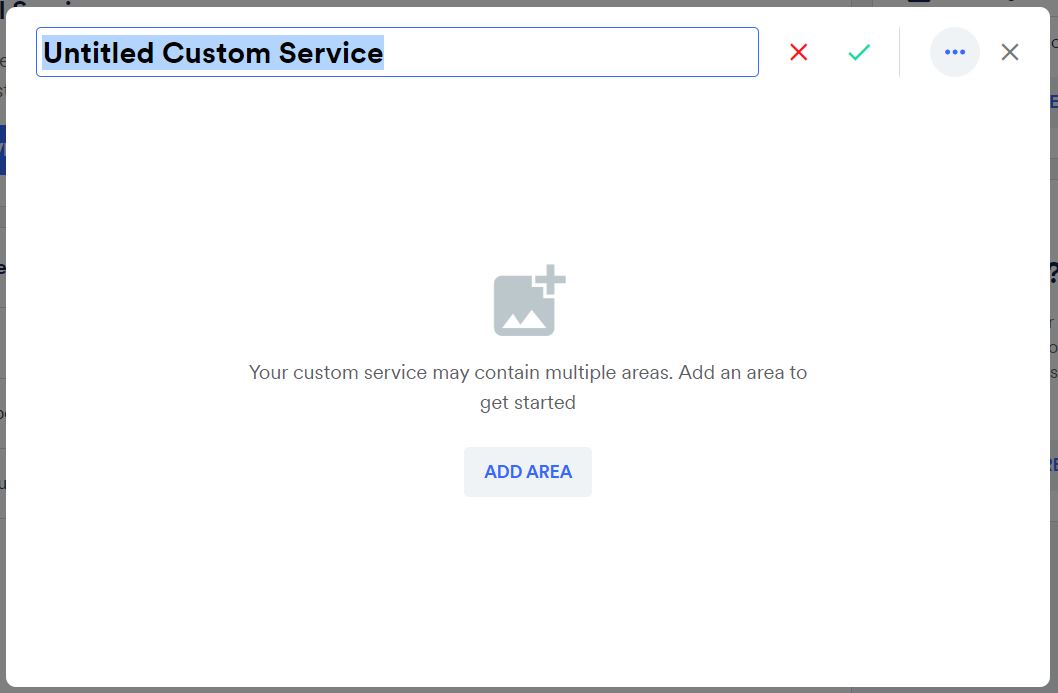
Rename the custom service
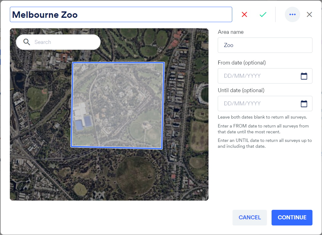
<figcaption>Draw the area of interest</figcaption>Nearmap Export
Section titled “Nearmap Export”If you choose not to use the Nearmap API to create a WMS layer, users can export Nearmap imagery and upload directly to Civillo if required.